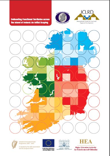
 The International Centre for Local and Regional Development (ICLRD) is delighted to announce the publication of its study, Delineating Functional Territories Across The Island of Ireland: An Initial Scoping. Funded by the Higher Education Authority (HEA), this research has been carried out by a multi-disciplinary team within ICLRD. The report can be downloaded from here.
The report comes out of a 10-month research programme (August 2009 to June 2010). The need for this work, especially on an inter-jurisdictional basis, was identified in the research undertaken for the InterTradeIreland/ICLRD spatial strategies report in 2006. As part of that research programme, the publication of pioneering maps illustrating travel to work distances and patterns, on an all-island basis, generated considerable interest amongst both policy-makers and practitioners, North and South. Subsequently, in 2007 and 2008 the ICLRD, together with the Regional Studies Association (Irish Branch), held a series of seminars and a conference on spatial indicators, which included early research on identifying urban clusters on an all-island basis.
This latest report represents Phase I of this project; with Phase II now underway. The focus of this initial phase was to explore the various possibilities of mapping functional territories, and to produce a set of outputs based on datasets that were available to the research team. The report illustrates the contribution that dynamic spatial analysis of urban functions can make in the profiling of the relational status, performance and potential of urban centres across the island, and includes maps of natural catchments, travel-to-work catchments, origin-destination data, gravity models and urban functional specialisations. It highlights the utility and potential of the evidence that can be harnessed to support effective spatial and economic planning by:
1. Identifying urban areas as the basis for policy, particularly in relation to options for appropriate degrees of monocentric and polycentric urban development strategies, and
2. Demonstrating the scope for rigorous analysis of urban functions, and their impacts across official boundaries and different scales.
Finally, this account of the urban systems on the island of Ireland is the initial step required to provide the basis for a more detailed, and integrated, description of the urban economy of the island as a whole. Phase II of the study, scheduled for completion by Spring 2011, will map functional territories relating to a number of priority sectors in the urban centres of Sligo and Enniskillen. It will identify the significant spatial linkages between these centres and surrounding urban centres, and search for opportunities for shared service delivery. Of equal importance, it will seek to resolve the problems identified in Phase I around the compatibility of data sources in the different jurisdictions.
Research Team: Justin Gleeson, Declan Curran, Brendan Bartley, Proinnsias Breathnach, Des McCafferty and Aine Rickard.

