The International Centre for Local and Regional Development (ICLRD), in collaboration with a range of partner organisations in 2014, has successfully developed and launched several powerful online tools utilising data from the 2011 censuses in Ireland and Northern Ireland.
The All-Island Digital Atlas, created in partnership with the All-Island Research Observatory (AIRO), is a user-friendly online mapping tool containing datasets on Population, Religion, Place of Birth, Ethnic Group, Housing Type and Tenure, Labour Force, Industry, Occupation, Transport and the General Health of the population of the island. The Atlas is available to search here.
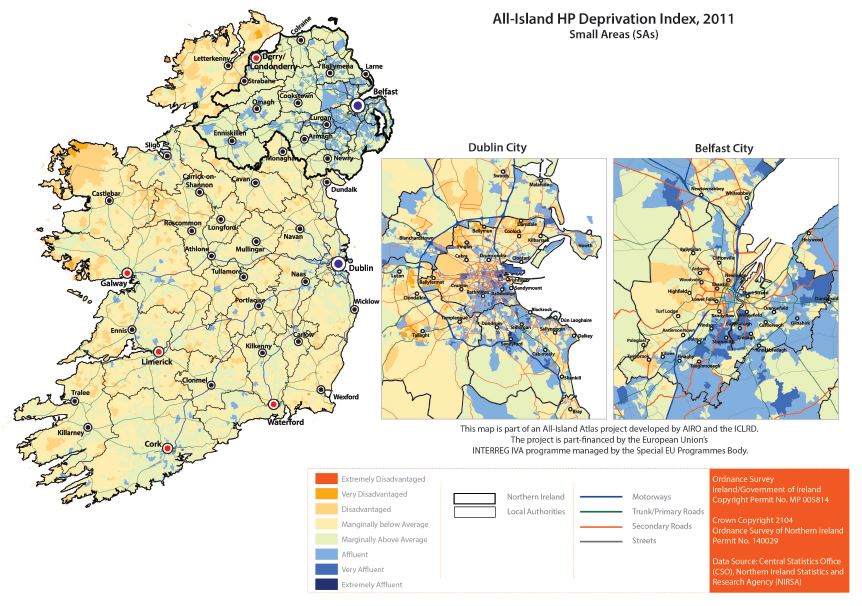
The All-Island HP Deprivation Index, created in partnership with Trutz Haase, Dr Jonathan Pratschke and AIRO, presents a consisted area-based deprivation measure for the island of Ireland, allowing comparisons to be made within, and between, both jurisdictions. The Index is available to search here.
Both of these online resources are a significant asset for policy makers, researchers, council officials, elected representatives and others involved in spatial planning and cross-border cooperation. They will assist in the formulation of evidence-based policies and will ultimately support and sustain cross-border cooperation on the island of Ireland.
The All-Island HP Deprivation Index and the All-Island Digital Atlas were developed under the Evidence Based Planning theme of the Cross-Border Spatial Planning and Training Network (CroSPlaN II) programme managed by the International Centre for Local and Regional Development (ICLRD). CroSPlaN II forms part of the wider Ireland-Northern Ireland Cross-Border Cooperation Observatory (INICCO), led by the Centre for Cross Border Studies (CCBS), funded by the Special EU Programmes Body under EU INTERREG IVA.
The Deprivation Index work has also been part financed by the Department of the Environment, Community and Local Government (DECLG).

